
Today, we use geospatial data in different industries. This article will explain how they differ from other types of data and why they are helpful.
What Is Geospatial Data Analytics?
Geospatial data is information that describes objects and events based on their location. They usually unite details according to the following criteria:
- coordinates;
- object characteristics;
- the time and duration of the object’s existence and the activity of a phenomenon.
The last point is related to the fact that the object in question can be static (an earthquake, equipment, etc.) or dynamic (the infection spread, moving cars, etc.).
Geospatial data contains information from a wide variety of sources and formats. It can be:
- high quality satellite images;
- statistics (for example, population census);
- social networks;
- mobile phone data, etc.
Thus, geospatial data is suitable for different activities and works well with other data types. That is why they are used for making maps, graphs, and cartograms. This additional context allows for a better understanding of the object or phenomenon under study.
Why Is Geospatial Analytics Important for Companies?
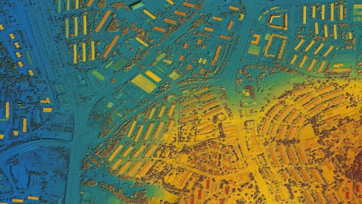
Geographic Information System (GIS) and Enterprise Resource Planning (ERP) are built based on geospatial analysis. It combines satellite data, historical information, and IoT with business data through operations, finance, marketing, and customers. It allows businesses to cut costs and build partnerships.
All data can be overlaid on maps with satellite imagery and receive the most accurate and detailed geographical information, for example, in the form of a heat map. In this way, specialists can study the product popularity by region, identify locations with the highest purchasing activity, and, based on this data, develop a successful business strategy. However, we note that marketers often have so much information in their hands that it is complicated to process it. Therefore, it is required to systematize the data obtained for qualitative analysis.
Examples of GIS Application
As stated above, we can apply geospatial data in many different areas. Let’s look at a few examples.
Agriculture
With the help of sensors on satellites and agricultural machinery, farmers receive information about the current state of fields. The GIS structures this data to make effective decisions. Thus, it is possible to increase productivity and reduce resource consumption. Moreover, this data enables sustainable agriculture that is good for people and safe for the environment.
As an example, we can pick the use of these technologies to fertilize crops. The GPS records the exact position of the fertilizer being applied. The application further identifies the areas where it needs to be used, for example, identifying parts with nutrient deficiencies. As a result, farmers fertilize plants with better quality, reduce the consumption of chemicals, and have less residual harmful substances enter the environment.
Insurance
Another area where GIS is actively used is insurance. With the help of information mapping, insurance companies monitor the areas served down to individual street sections. After that, this data is supplemented with demographic data, and thus, insurers determine the regions with the highest probability of filing claims. Also, such records can be used to identify false claims.
Banking
Today, this area is focused on a wide range of clients, and therefore the bank’s success depends on the ability to provide timely and high-quality services. It requires knowledge of the market, and the GIS offers that information. Banks can plan their activities in different regions and make strategic decisions depending on the current socio-economic situation.
Dairy industry
GIS is most often used to organize the supply chain in this industry. Using geospatial data, you can determine the optimal location of stores and distribute the number of products by region according to their demand among the local population. It can significantly reduce transport costs and provide fresher products to the end consumer.
Medical Business
Geospatial data plays a vital role in the medical field. Thus, with the help of mapping applications, medical institutions can better analyze the situation in the area under their jurisdiction, and emergency workers can determine the fastest and safest routes. In a metropolis, this option is advantageous due to heavy traffic. Unique maps allow you to choose the optimal way, considering the specifics of a particular road section. The shortest route is often the longest due to the high traffic congestion during peak hours. Special programs help to avoid such problems.
Thus, geospatial data is an essential analytical tool in various areas, including such important ones as the medical field and agriculture.